|
Tian Zhang (張天) I am a PhD Candidate in Mapping and Geo-Information Engineering at Technion - Israel Institute of Technology, where I work in the Lab for Photogrammetry and Laser Scanning under the supervision of Prof. Sagi Filin. My research focuses on representation learning for real-world 3D point clouds, with an emphasis on representations that remain geometrically consistent under noise, partial observation, transformation, and structural change. I study these representations through problems including registration, structural understanding, and dynamic 3D modeling. I received my MSc in Navigation, Guidance, and Control, and my BEng in Geomatics Engineering from Wuhan University. Email / CV / Google Scholar / ResearchGate / GitHub |

|
News
|
Current Projects |
|
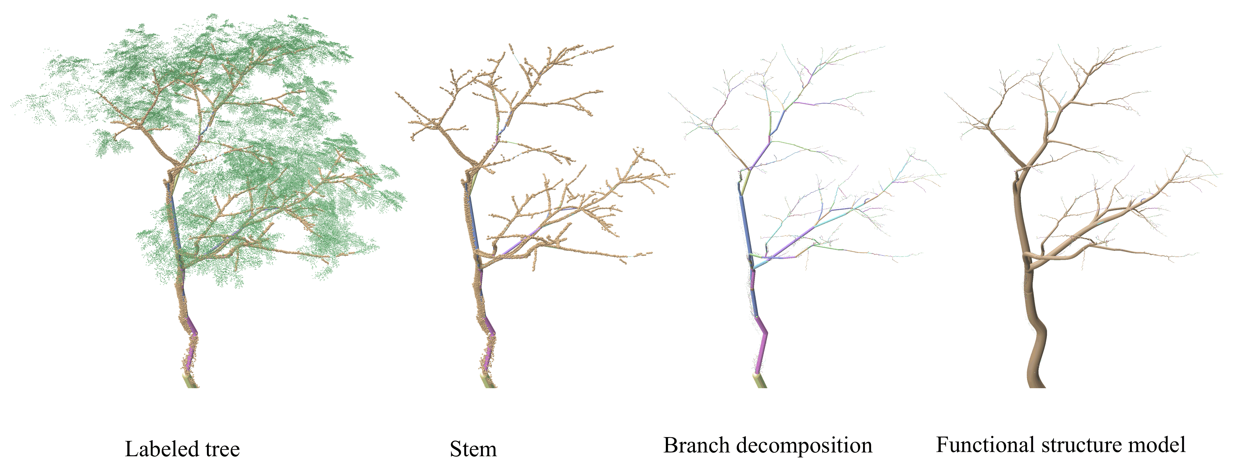
Neural Reconstruction of Functional Tree Models from TLS Scans
Developing an efficient patchified network for wood-leaf separation from terrestrial laser scanning data, followed by reconstruction of tree topology and functional structure from decomposed point-cloud observations. |
Publications |
|
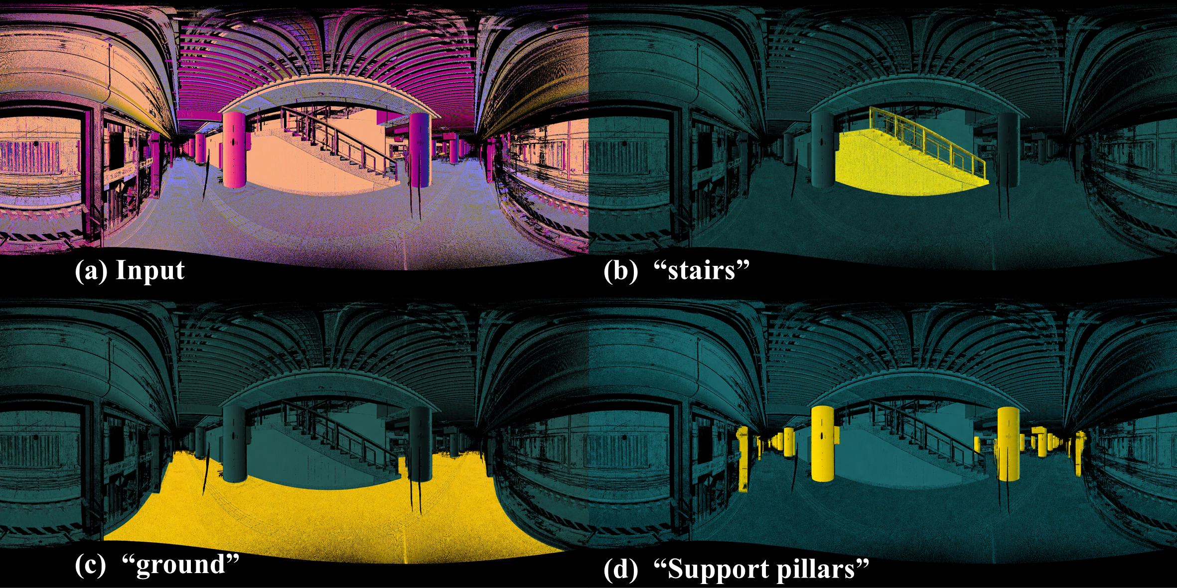
Transient Entities Filtering for TLS Panoramas via Self-Supervised Vision-Language Priors
Tian Zhang, Sagi Filin LC3D ISPRS Workshop, accepted as oral talk, 2026 Keywords: Terrestrial Laser Scanning, Transient Filtering, Label-Free Learning, Vision-Language Models An annotation-free transient filtering pipeline for organized TLS panoramas, combining self-supervised visual descriptors, text-aligned priors, and geometric cues such as range, gradients, and surface normals to estimate transient-probability masks and back-project them to the original TLS rays. |
|
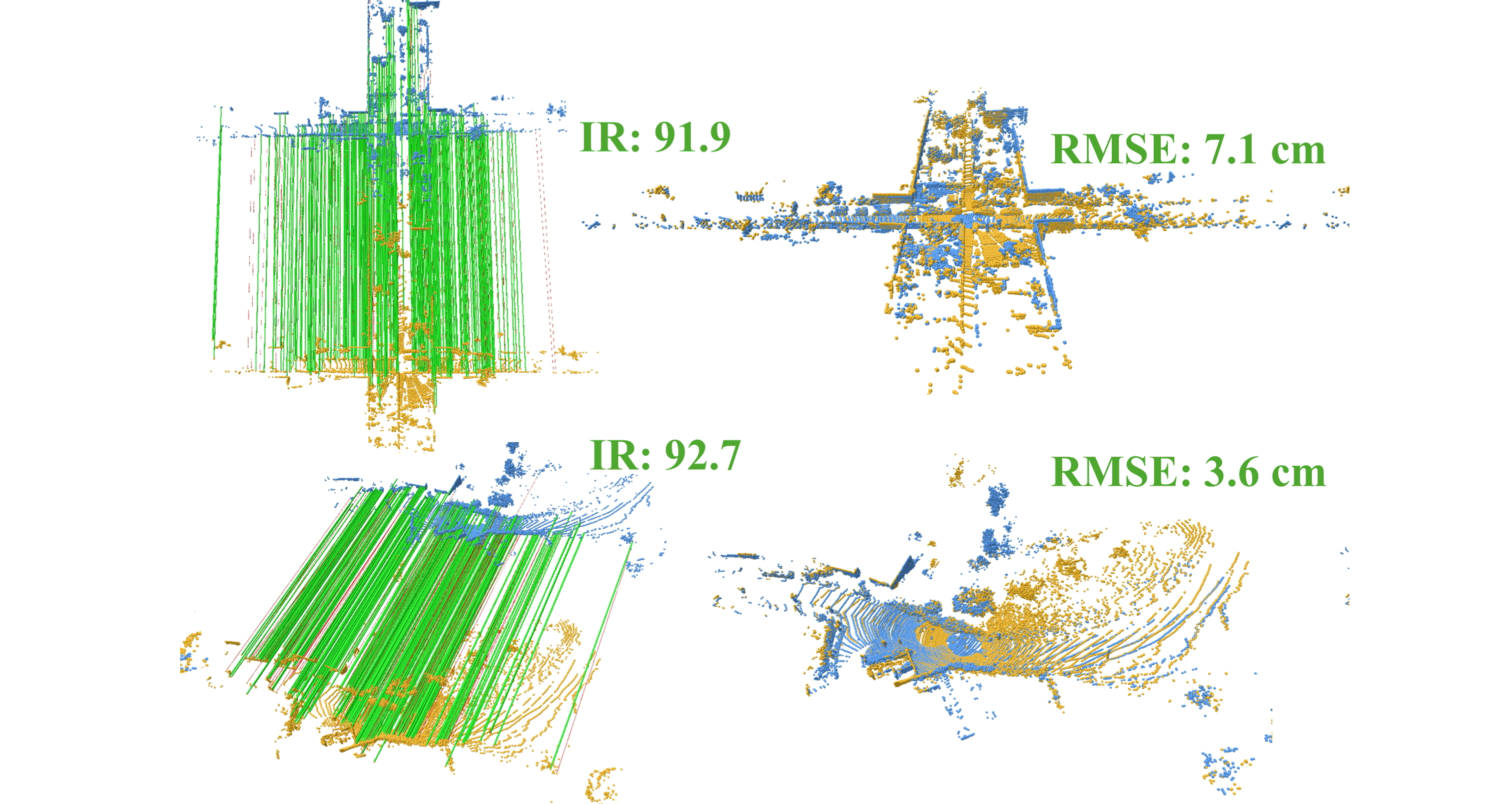
Differentiable Deep Consistency for Point Cloud Registration
Tian Zhang, Sagi Filin ISPRS Annals of the Photogrammetry, Remote Sensing and Spatial Information Sciences, July 2026 DOI An end-to-end geometric consistency formulation for robust point cloud registration under challenging overlap and correspondence conditions. |
|
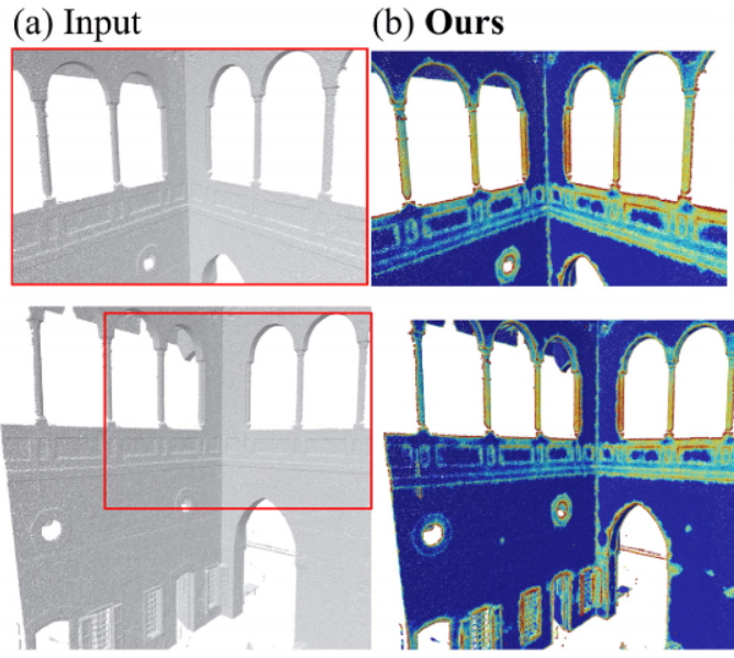
Saliency-Driven View Planning for Cultural Heritage Guided Tours
Tian Zhang, Sagi Filin The International Archives of the Photogrammetry, Remote Sensing and Spatial Information Sciences, February 2026 A view-planning approach for communicating cultural heritage content more effectively from 3D documentation. |
|
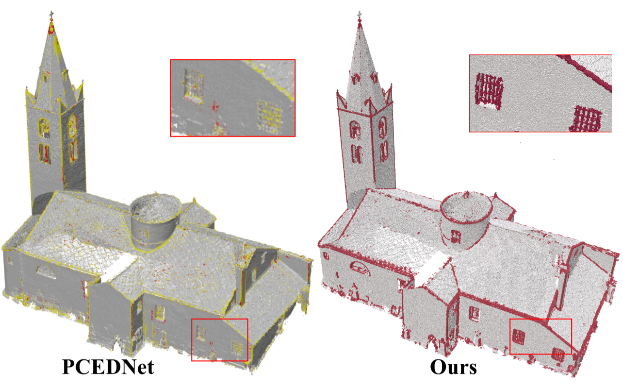
Edge-aware Joint Neural Denoising and Normal Estimation for Mobile and Handheld Laser Point Clouds
Tian Zhang, Sagi Filin ISPRS Annals of the Photogrammetry, Remote Sensing and Spatial Information Sciences, July 2025 Jointly improves scan quality and geometric normal estimation for mobile and handheld laser data. |
|
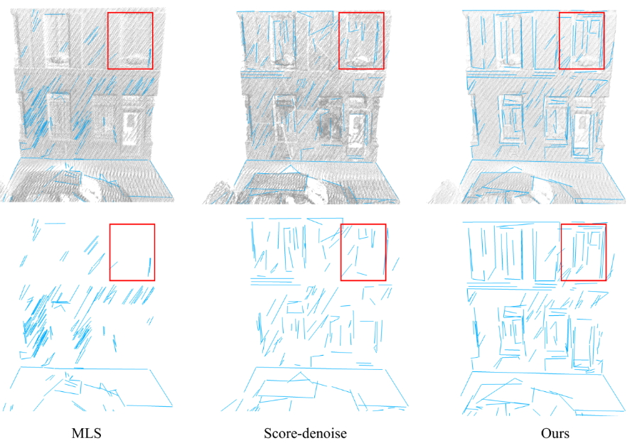
Deep Contour Detection for Enhanced Heritage Sites Visualization by Laser Point Clouds
Tian Zhang, Sagi Filin The International Archives of the Photogrammetry, Remote Sensing and Spatial Information Sciences, October 2025 Uses learned contour detection to make heritage-site point clouds more legible and interpretable. |
|
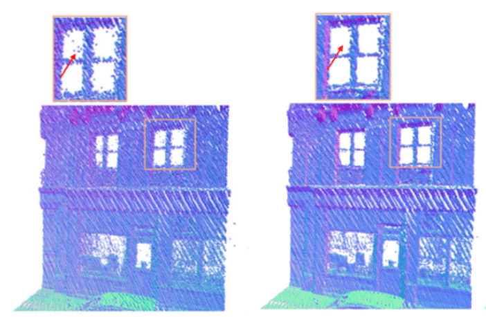
Joint Neural Denoising and Consolidation for Portable Handheld Laser Scan
Tian Zhang, Sagi Filin The International Archives of the Photogrammetry, Remote Sensing and Spatial Information Sciences, December 2024 Addresses noise, uneven sampling, and missing structure in portable handheld laser scans. |
|
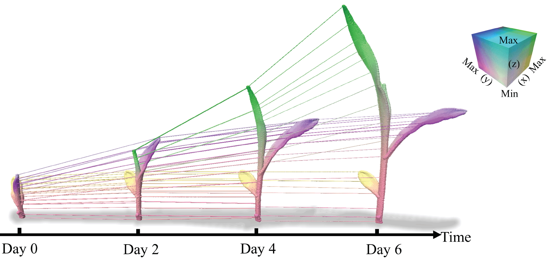
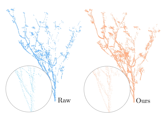
Spatio-temporal Registration of Plants Non-rigid 3-D Structure
Tian Zhang, Bashar Elnashef, Sagi Filin ISPRS Journal of Photogrammetry and Remote Sensing, October 2023 Project page A framework for associating, aligning, and tracking plant structures over time from point cloud observations. |
|
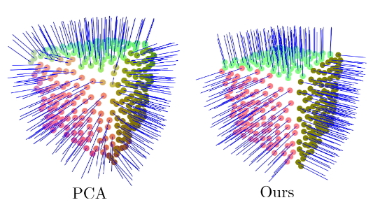
Deep-Learning-Based Point Cloud Upsampling of Natural Entities and Scenes
Tian Zhang, Sagi Filin ISPRS Congress 2022, The International Archives of the Photogrammetry, Remote Sensing and Spatial Information Sciences, May 2022 Studies learning-based upsampling for unevenly sampled natural and scene-scale point clouds. |
|
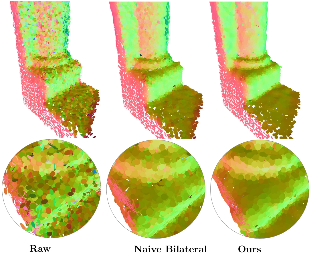
High Fidelity Edge Aware Normal Estimation for Low Resolution and Noisy Point Clouds of Heritage Sites
Joelle Abu Hani, Tian Zhang, Sagi Filin ISPRS Congress 2022, The International Archives of the Photogrammetry, Remote Sensing and Spatial Information Sciences, May 2022 Focuses on reliable normal estimation for complex heritage geometry acquired with low-resolution noisy scans. |
|
Shape Preserving Noise Attenuation Model for 3-D-Modeling of Heritage Sites by Portable Laser Scans
Tian Zhang, Joelle Abu Hani, Sagi Filin 3D-ARCH 2022, The International Archives of the Photogrammetry, Remote Sensing and Spatial Information Sciences, February 2022 Proposes shape-preserving denoising for portable-laser-scan reconstruction of heritage environments. |
|
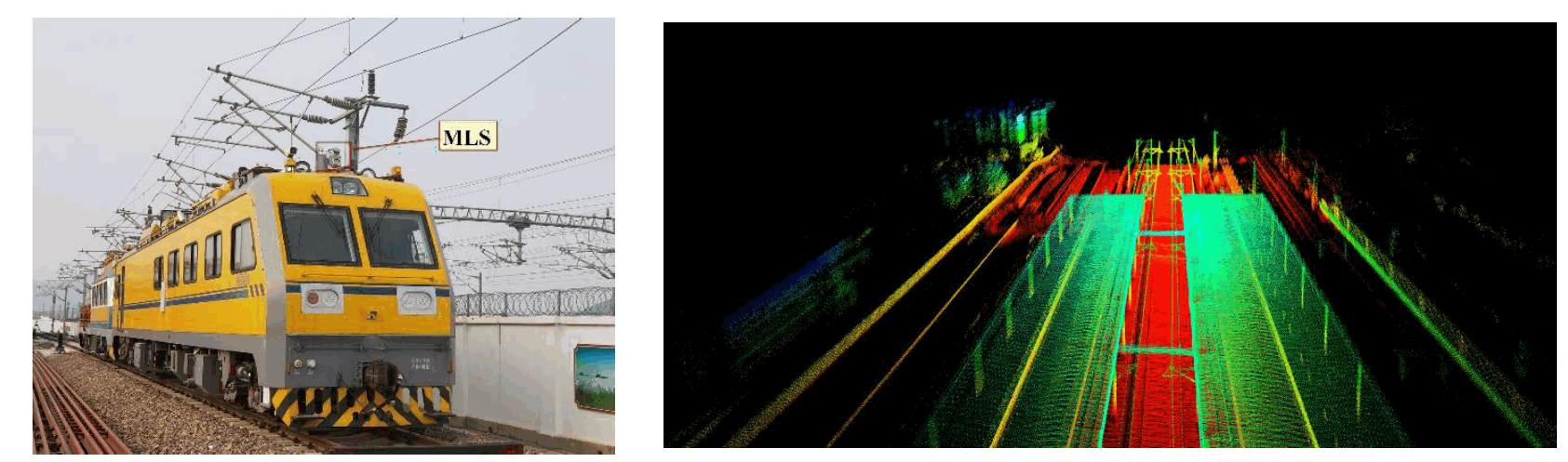
A Fast Algorithm for Rail Extraction Using Mobile Laser Scanning Data
Yidong Lou, Tian Zhang, Jian Tang, Weiwei Song, Yi Zhang, Liang Chen Remote Sensing, December 2018 ResearchGate An automated method for extracting rail tracks from mobile laser scanning data for railway inspection and mapping workflows. |
|
Source style adapted from the Jon Barron academic homepage pattern used by many research sites, including the structure seen on pengsongyou.github.io. Last updated: September 19, 2026. |